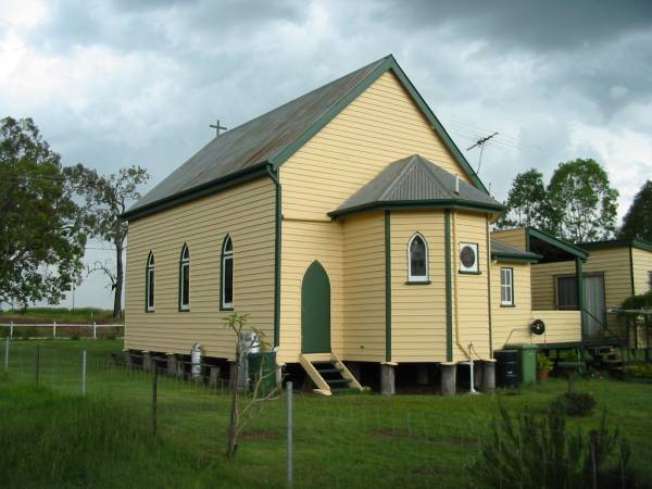
St Paul's Lutheran, Aratula, Boonah Shire
All the headstone photos in
Aratula Lutheran, Boonah Shire
Names in photographed order.
Names in alphabetical order.
Latitude -27.98111017067564, Longitude 152.5421224357739
Latitude -27° 58’ 52", Longitude 152° 32’ 32"
GoogleMap
or GoogleEarth map application for Aratula Lutheran, Boonah Shire. (What's this?)
All the cemeteries
© Copyright 1996-2026 Kerry Raymond and David Horton
`
