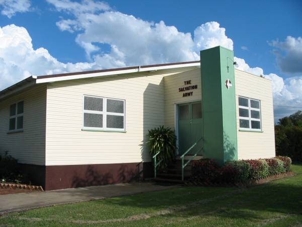
The Salvation Army Church, Kalbar, Boonah Shire
All the headstone photos in
Kalbar Salvation Army Church Cemetery, Boonah Shire
Names in photographed order.
Names in alphabetical order.
Latitude -27.93961906433106, Longitude 152.6244812011719
Latitude -27° 56’ 23", Longitude 152° 37’ 28"
GoogleMap
or GoogleEarth map application for Kalbar Salvation Army Church Cemetery, Boonah Shire. (What's this?)
All the cemeteries
© Copyright 1996-2026 Kerry Raymond and David Horton
`
