 | (100_2099.JPG) |
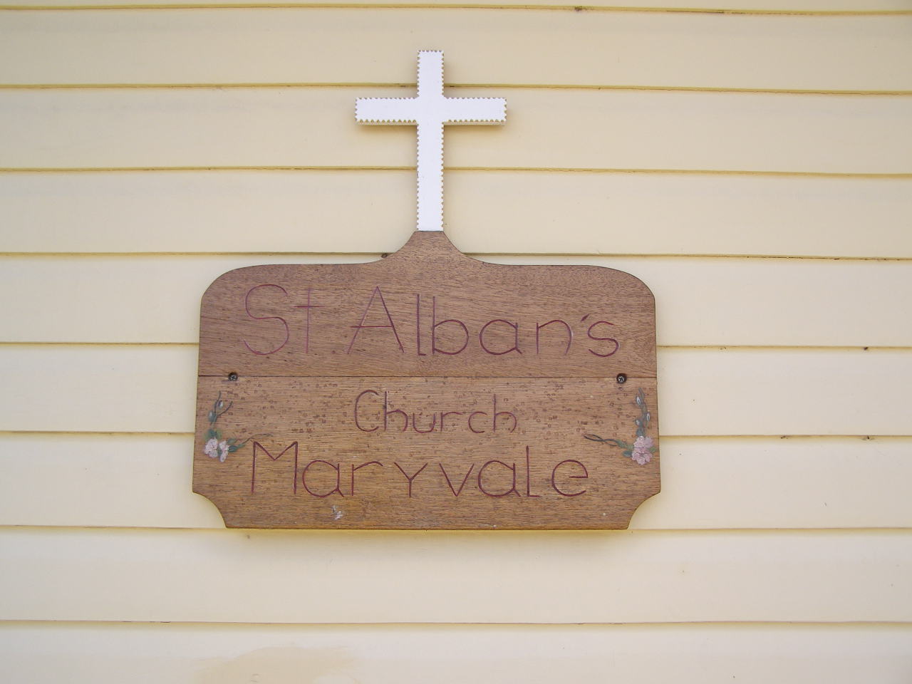
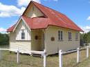
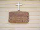
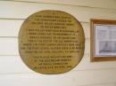
St Alban's church,
Maryvale Homestead (St Alban's) cemetery, Warwick Shire
|
 | (100_2100.JPG) |
Maryvale Homestead (St Alban's) cemetery, Warwick Shire
|
 | (100_2101.JPG) |
St Alban's church,
Maryvale Homestead (St Alban's) cemetery, Warwick Shire
|
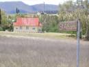
![Homestead cemetery [but where are the headstones?],
Maryvale Homestead (St Albans) cemetery, Warwick Shire](thumb/100_2102.JPG) | (100_2102.JPG) |
Homestead cemetery [but where are the headstones?],
Maryvale Homestead (St Alban's) cemetery, Warwick Shire
|
 | (100_2103.JPG) |
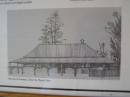
St Alban's church,
Maryvale Homestead (St Alban's) cemetery, Warwick Shire
|
 | (100_2104.JPG) |
St Alban's church,
Maryvale Homestead (St Alban's) cemetery, Warwick Shire
|
 | (100_2105.JPG) |
St Alban's church,
Maryvale Homestead (St Alban's) cemetery, Warwick Shire
|
 | (100_2106.JPG) |
St Alban's church,
Maryvale Homestead (St Alban's) cemetery, Warwick Shire
|
 | (100_2107.JPG) |
St Alban's church,
Maryvale Homestead (St Alban's) cemetery, Warwick Shire
|
 | (100_2108.JPG) |
St Alban's church,
Maryvale Homestead (St Alban's) cemetery, Warwick Shire
|
 | (100_2109.JPG) |
St Alban's church,
Maryvale Homestead (St Alban's) cemetery, Warwick Shire
|
 | (100_2110.JPG) |
St Alban's church,
Maryvale Homestead (St Alban's) cemetery, Warwick Shire
|
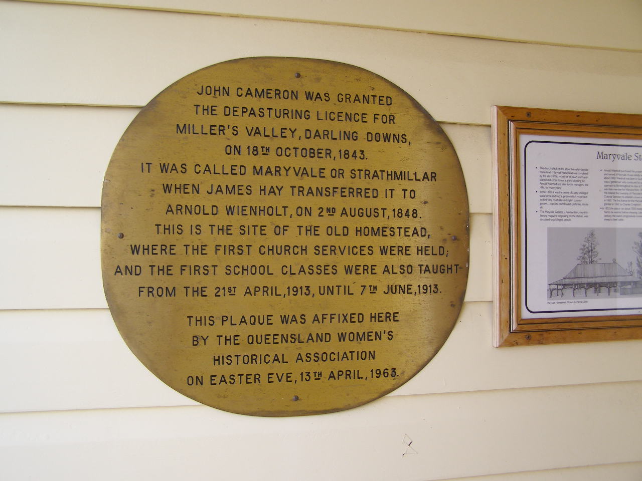
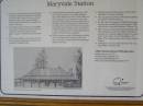
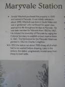
Maryvale Homestead Cemetery (and St Albans Anglican Church)
Address: Maryvale, (Between Cunningham Highway and Maryvale town)
Opened: 1843 station,
# graves: 0
from Southend Downs Regional Council page
Address: Allana St, Maryvale
#graves: 9
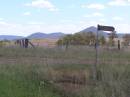
Homestead originally occupied site where church is now. The field adjacent to the drive down to the church is marked as homestead cemetery. However no headstones were evident.
There was a (now disassembled) 'Via recta' train line Warwick-Freestone-Gladfield-Maryvale. VIA RECTA (right way).
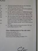
Was once in Glengallan Shire (circa 1980).
More information about
Glengallan Homestead
Wiki for Warwick say shire formed in 1994 from amalgamation of Warwick city with Glengallan, Rosenthal and Allora shires
Historic tourist drives around Warwick
Maryvale - place name history and locality
Edward Weinholt and Arnold Wienholt and Arnold Wienholt
Southern Downs Cemeteries
Queensland Historical Atlas - Darling Downs
Photographed: 21 Jan 2007
Displayed images are scaled down to fit on the screen, but full-size images can be obtained by clicking.
Latitude -28.06694581876072, Longitude 152.2404547506205
Latitude -28° 4’ 1", Longitude 152° 14’ 26"
Names in alphabetical order
All the cemeteries


![Homestead cemetery [but where are the headstones?],
Maryvale Homestead (St Albans) cemetery, Warwick Shire](100_2102.JPG)